Winds in Croatia
Bora
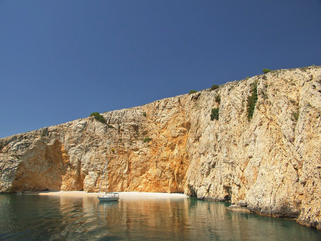
Bora is a strong and sudden wind, blowing in gusts from the cold interior of mountainous regions of east Adriatic, mostly from NNE to ENE. The direction and strength of bora depend significantly on the configuration of the landscape. After accelerating over the slope of the mountain it hits the surface of the sea creating irregular and steep waves. Strong bora disperses the wave crests creating "water dust" that reduces visibility. The most common type of bora is anticyclonic, when it's a cold wind that brings nice and stable weather. Sometimes bora can blow when the atmospheric pressure is low, bringing rainy weather ("dark bora"). In winter bora blows more often, stronger and for longer periods (3-7 days), and it can even bring snow on the islands. Around midday bora usually temporarily weakens ("goes to lunch"). Farther away on the open sea, bora loses some of its gustiness but creates bigger waves. Sudden appearance of bora is its most dangerous characteristic. The gusts of bora can sometimes reach hurricane strength ("Bora says: when I sail, you don't."). The places on the east Adriatic where bora is particularly strong are: Bay of Trieste, Bay of Kvarner, Velebit channel (particularly Senj), Šibenik, Cape Ploča, Split, bay Vrulja (between Omiš and Makarska), bay Žuljana (on Pelješac). A "cap" of clouds just above the mountain peaks (particularly Velebit) announces bora. The lower edge of these clouds is flat and parts of the clouds separate and disappear blown away by the wind. Interesting: were the mountains on the east Adriatic coast some 1000 m higher, bora would blow as a warm wind because the cold wind warms up blowing down the mountain at a rate of 1°C every 100 meters!
Sirocco (Jugo)
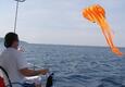
Sirocco is a worm and damp wind, of constant speed and steady direction. It blows from ESE to SSE, depending on the relief of the coast and the islands. Its speed rises gradually and it usually blows with gale force only after 2-3 days of blowing. It blows more often and with greater strength in the south than in the north of Adriatic. It's stronger on the open sea than closer to the coast. It usually blows when depressions move over the Adriatic and the atmospheric pressure is low, bringing clouds and rainy weather. Visibility is reduced due to the humidity in the air. Sometimes it blows as an anticyclonic wind, mostly in spring ("clear sirocco"), bringing nice and sunny weather. High tide usually accompanies sirocco. Waves from SE without any wind are a sign of forthcoming sirocco. Sirocco creates high waves around Cape Kamenjak in Istria, in the bays of Kvarner and Kvarnerić, around Cape Ploča, south of Dubrovnik and on the open sea.
Mistral
In the summer, etesian wind flow from NW exists, driven by the pressure difference between the high pressure system above Azores and the Karachi depression. It's more pronounced in the south Adriatic and has a regular daily cycle. Along with zmorac ("sea wind"), breeze from the sea, it creates the well-known summer mistral, beginning to blow in the middle of the morning, reaching its peak in the early afternoon and disappearing in the evening. Thunderstorms often bring gale force N-NW winds, but in summer they last shortly. The name "mistral" denotes the main and strongest wind in the Mediterranean (in the Bay of Lyon if often blows with gale force).
Source: www.croatia.aventin.hr
Video
Current news
 Macrocruise charter agency
Additional discount on the boat rental price of betw
Macrocruise charter agency
Additional discount on the boat rental price of betw


EcoAdriatica

Charter


Nagradna igra