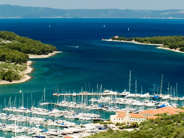
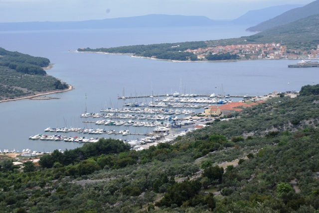
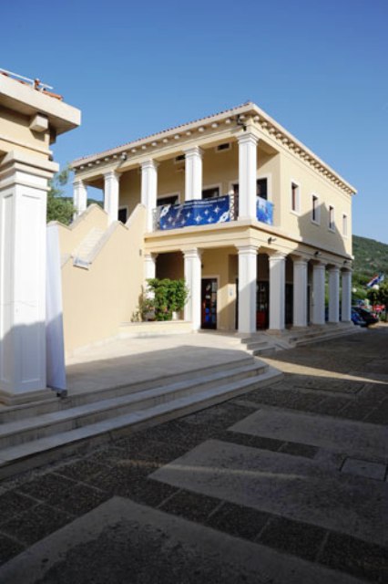
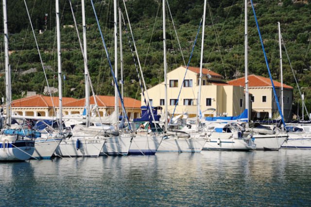
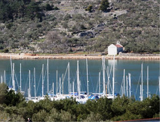

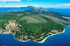
ACI Cres
ACI Cres  Map and approach into ACI Cres
Approach to Cres harbor is possible through a channel 400 m wide. Landmarks when approaching Cres harbor are the lighthouses on Cape Kovačine (Fl (2) 6s 9m 8M) and on Cape Križice (Fl G 3s 9m 4M). The lighthouse on Cape Kovačine can be used as a way point (44°57,6’ N 14°23,7’ E). After approaching the channel between those two lighthouses, the lighthouse on Cape Melin (Fl R 3s 6m 3M) comes in sight. There is an underwater reef in front of Cape Melin, so a distance of at least 50 m should be kept. The entrance into ACI marina Cres is marked by harbor lights. On the breakwater head there is a red lighthouse (Fl (2) R 5s 7m 3M) and on Martinski Islet a green lighthouse (Fl (2) G 5s 7m 3M). Maximum speed from Cape Kovačine to the marina and 5 knots and within the marina 2 knots.
www.aci-klub.hr
MAP
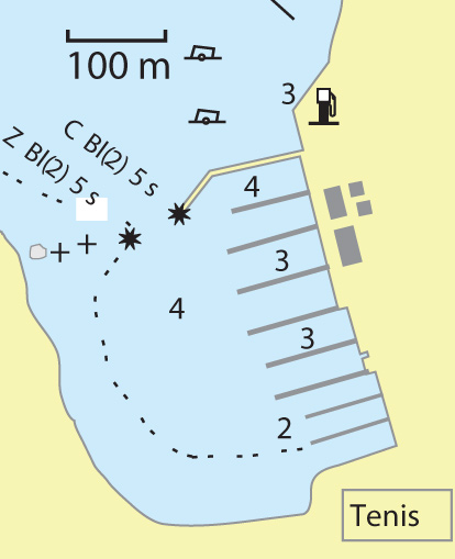
Warning: These maps are for information and not navigation purposes.
Source: Karl-H. Beständig "808 LUKA I UVALA - Hrvatska, Slovenija i Crna Gora" (808 HARBOURS AND BAYS – Croatia, Slovenia and Montenegro)


Video
Current news
 Macrocruise charter agency
Additional discount on the boat rental price of betw
Macrocruise charter agency
Additional discount on the boat rental price of betw


EcoAdriatica

Charter

Nagradna igra