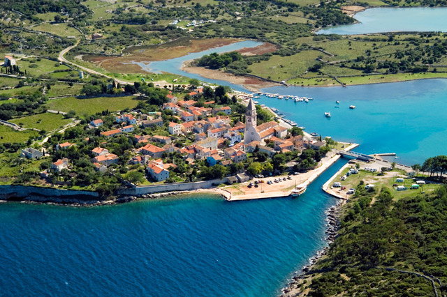
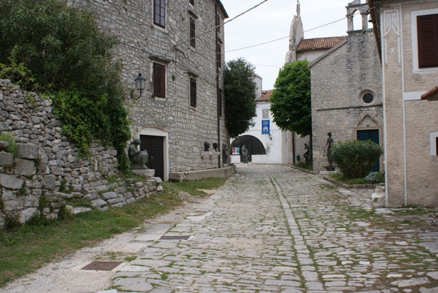

Osor/island of Cres
The city is 4,000 years old. This long history is based on its important position on the navigational route from Venice to the Mediterranean Sea. The passage between the islands of Cres and Losinj is a nautical shortcut.
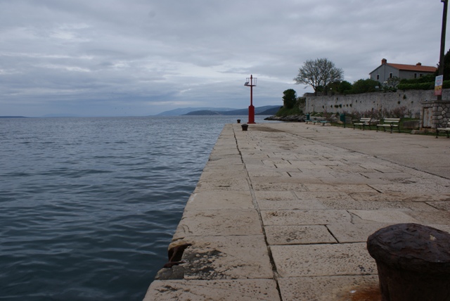
Osor is situated on a small island that was once linked to the coast by an isthmus on either side and was washed by water on all sides, depending on the tides on the shallower side. Archaeological finds support the view that ships once passed by Jazit, under the old fortresses, which were twice the size of Osor today, and sailed past the old cathedral, today’s church next to the graveyard. St Mary’s convent, today in ruins, was on the other side of the Jazit channel, opposite the city walls.
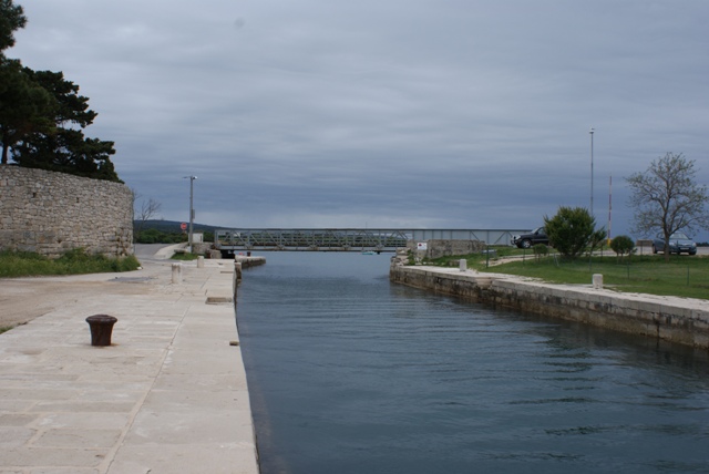
Today’s nautical shortcut, the Kavuada channel, was dug in Roman times after the Jazit isthmus had formed. Nowadays, smaller boats, yachts, powerboats and sailing boats navigate through the Kavuada channel when the drawbridge is up. The raising of the bridge and watching vessels make their way from one side of the sea to the other is still a special event. Road traffic between Cres and Losinj comes to a standstill at these times. Diving from the bridge into the strong sea currents is the most attractive “forbidden” activity for young bathers.
Source: www.jazon.hr
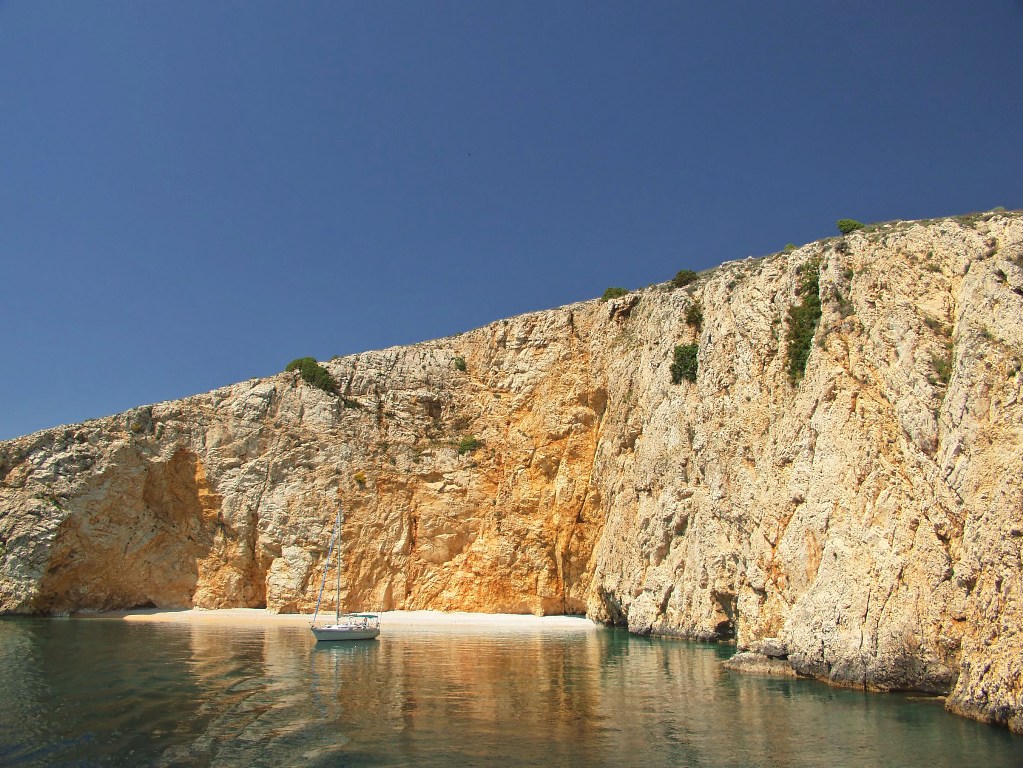
Sailing in front of Osor


Video
Current news
 Macrocruise charter agency
Additional discount on the boat rental price of betw
Macrocruise charter agency
Additional discount on the boat rental price of betw


EcoAdriatica


Charter


Nagradna igra