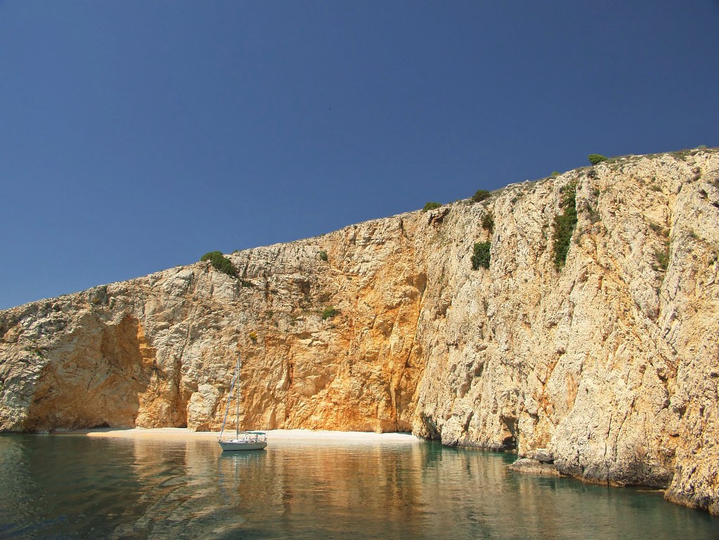
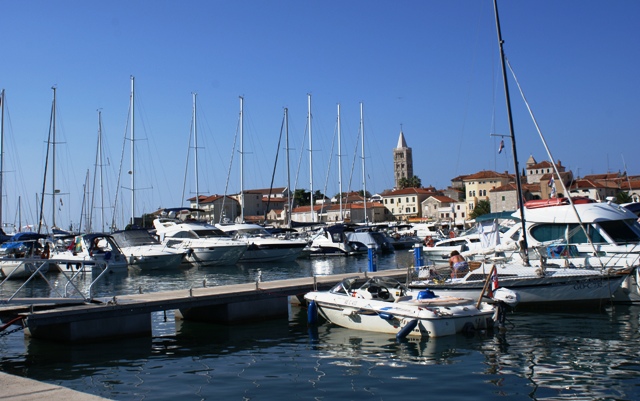
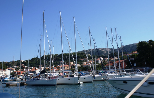

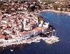
ACI Rab
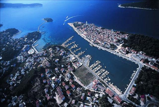
ACI Rab  Map and approach into ACI Pula
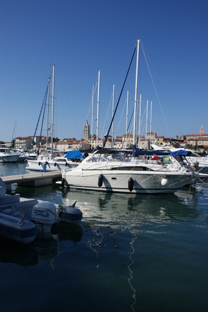
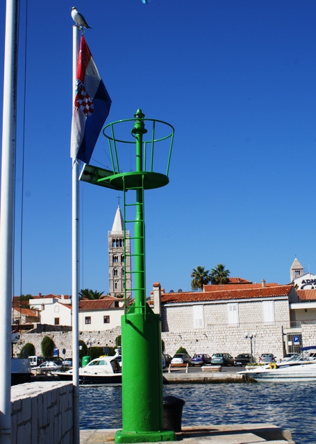
From the sea one will immediately recognize Rab by its town walls and four bell towers. Approach is possible between Cape Frkanj, on which there is a red lighthouse ( Fl R 2s 5m 4M) and Frkanj Shoal, which is marked by a green lighthouse on a concrete base (Fl G 2s 6m 4M). The latitude and longitude of Frkanj Shoal are 44°44,9' N 14°45,5' E. The shoal can be rounded from southeast. The entrance to the harbor is marked with a red lighthouse on Cape St. Ante (Fl R 1,5s 7m 3M) and a green lighthouse on Tunera Islet (Fl G 2s 14m 4M). Due to shallow spots around Tunera Islet, one should keep to the red lighthouse. ACI marina Rab is situated within the Rab harbor bay that lies in southeast-northwest direction. The marina is protected by a breakwater, the head of which is marked by a green lighthouse (Fl G 1,5s 7m 4M). During a strong south wind it is not recommended to stay in the town harbor. Maximum speed in the approach channel is 3 knots for all vessels. The western ends of the piers in the marina are lighted.
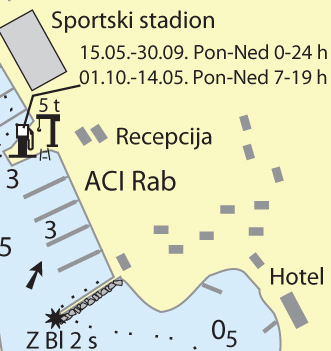
Please note: These maps are for information only and cannot be used when navigating.
Source: Karl-H. Beständig "808 LUKA I UVALA - Hrvatska, Slovenija i Crna Gora" (808 HARBOURS AND BAYS – Croatia, Slovenia and Montenegro)


Video
Current news
 Macrocruise charter agency
Additional discount on the boat rental price of betw
Macrocruise charter agency
Additional discount on the boat rental price of betw


EcoAdriatica
Charter

Nagradna igra