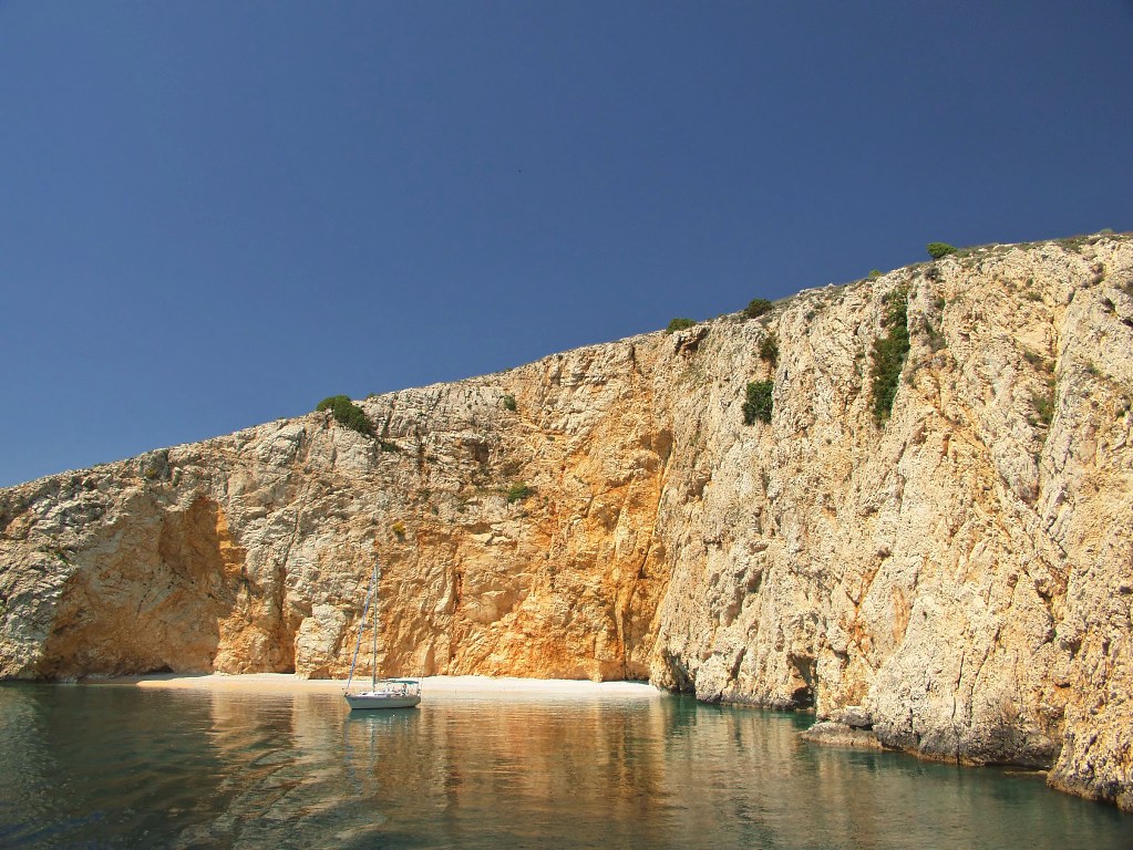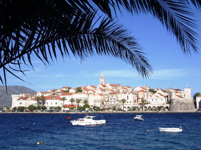
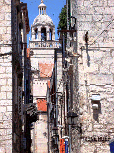
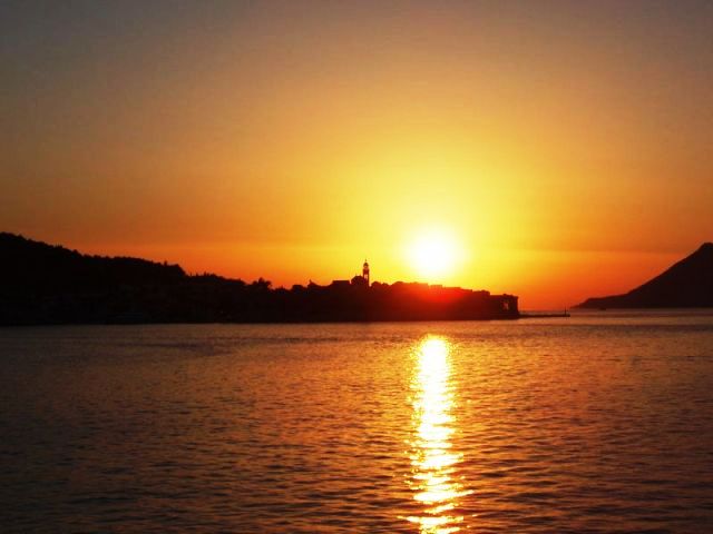
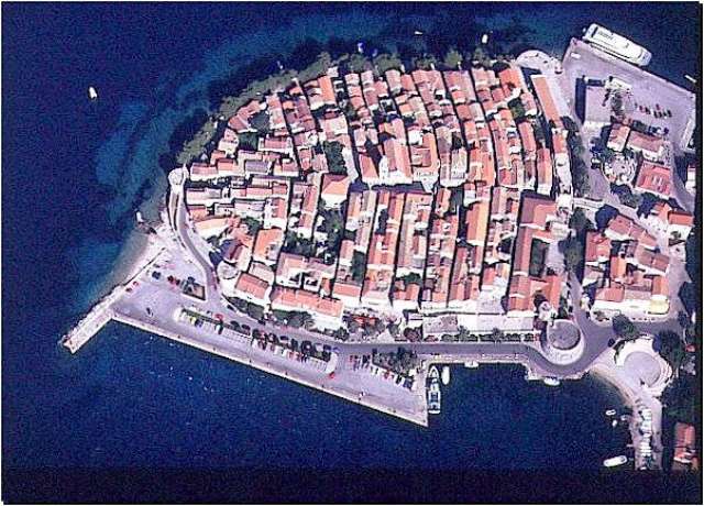

Korčula/island of Korčula
Korčula/island of Korčula  Korčula harbour and price list
MAP OF KORČULA HARBOUR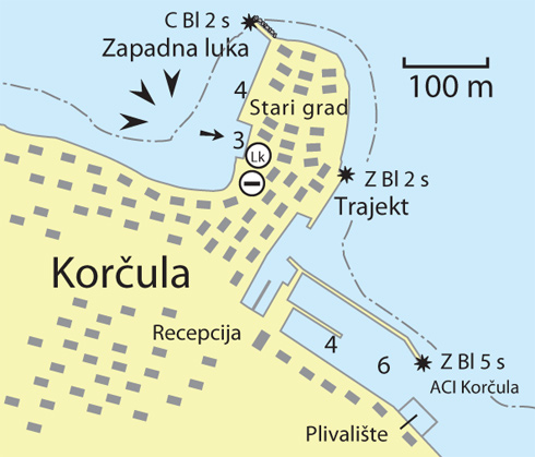
Warning: These maps are for information and not navigation purposes.
Source: Karl-H. Beständig "808 LUKA I UVALA - Hrvatska, Slovenija i Crna Gora" (808 HARBOURS AND BAYS – Croatia, Slovenia and Montenegro)
You can moor on the quayside of the western shore. 50 metres of the quayside is reserved for sailors. Behind this, the area is for ships, yachts and the Korčula-Orebić passenger boat service. There is room for 12-15 boats to anchor and moor stern-on to the quayside, but no moorings are provided. Preference is given to larger yachts (over 20 metres) if announced in advance by agents.
The depth along the shore is 2.8 metres. There is no power connection but water can be obtained from the concessionaire KTD Huber. Water and waste disposal are charged separately by the company.
WARNING: when the northern maestral wind blows strongly, mooring in the western harbour is not safe. In this case, apart from ACI Korčula, you can anchor in Luka Bay (the first bay south of ACI Korčula). Berthing here is charged at half the price of the western harbour.
The concessionaire is the County Port Authority Korčula. Information on free berths can be obtained on the following phone numbers:
+385 (0)98 1701513 Mr. Mladen Vilović
+385 (0)98 1689674 Mr. Žarko Klisura
| STERN-ON OR ANCHOR BERTHS ON THE SHORE |
- number of berths 12-15
- price by metre
- 3.70 euros/m - in the period 01.06- 30.09
- 2.70 euros/m - in the periods 01.05- 30.05 and 01.10-31.10
- 1.80 euros/m - in other months
County Port Authority Korčula, tel: +385 (0)20 715241


Video
Current news
 Macrocruise charter agency
Additional discount on the boat rental price of betw
Macrocruise charter agency
Additional discount on the boat rental price of betw


EcoAdriatica

Charter
Nagradna igra