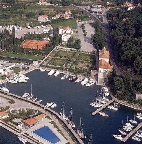
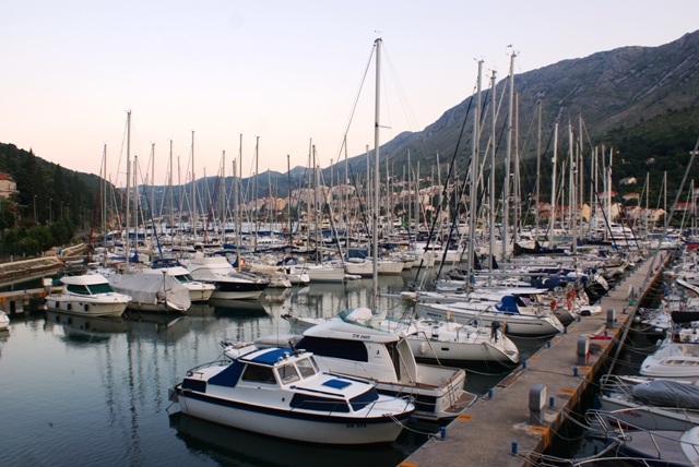
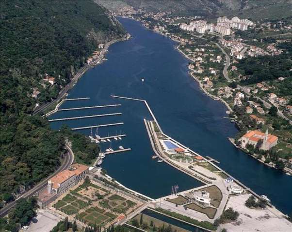

ACI Dubrovnik
ACI Dubrovnik  Approach
Approach
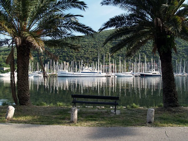
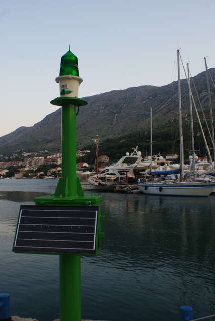
The inlet of Rijeka Dubrovačka at the end of which is the ACI marina until the easily noticeable monastery at Rožat is 170 - 400 m long. As a way point when approaching the mouth of Rijeka Dubrovačka the islet of Daksa can be used. There is a lighthouse (Fl 6s 7m 10M) on the northern cape of the islet, which can be rounded from either side. The latitude and longitude of the lighthouse are 42°40,2 N 18°03,5' E. The entrance to the mouth of Rijeka Dubrovačka is marked by a lighthouse on Cape Kantafig (FlRG2s8m4M). The course through the riverbed leads to the Mokošica lighthouse (Fl R 3s 6m 4M) and further to the ACI marina Dubrovnik. From Rožat the inlet becomes narrower and more shallower. Sea-depth is 3-5 m. The marina is flood -lit at night. A long breakwater protects the marina from the river currents.
Note: Official navigational charts recommended (Official Navigational Charts - publisher HHI Split): 100-27, 100-28, 50-20, MK-26 and Plan 83.
Izvor: www.ac-club.hr
MAP ACI DUBROVNIK
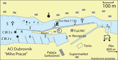
Warning: These maps are for information and not navigation purposes.
Source: Karl-H. Beständig "808 LUKA I UVALA - Hrvatska, Slovenija i Crna Gora" (808 HARBOURS AND BAYS – Croatia, Slovenia and Montenegro)


Video
Current news
 Macrocruise charter agency
Additional discount on the boat rental price of betw
Macrocruise charter agency
Additional discount on the boat rental price of betw


EcoAdriatica

Charter


Nagradna igra