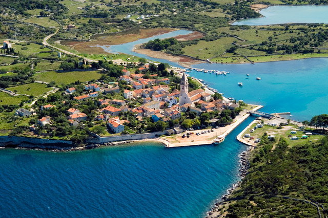
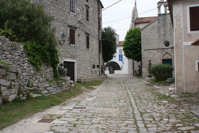

Osor/island of Cres
Osor/island of Cres  Map of Osor
OSOR

Warning: These maps are for information and not navigation purposes.
Source: Karl-H. Beständig "808 LUKA I UVALA - Hrvatska, Slovenija i Crna Gora" (808 HARBOURS AND BAYS – Croatia, Slovenia and Montenegro)
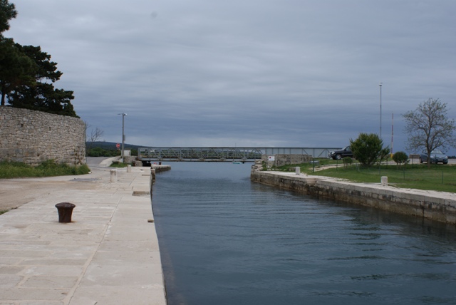
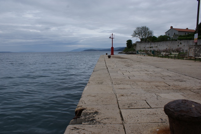
When the weather is calm, the best mooring is on the north-east side of the Kavauda passage (the drawbridge passage). There is a 50-metre concrete waterfront and the water depth is 4 metres and safe for mooring.
The drawbridge opens twice a day: at 9 in the morning and 5 in the afternoon. The passage is 120 metres in length and 12 in width. Closer to the shore, the depth is 2 metres. The speed of the current in the passage is 6 knots. Right of way must be given to vessels approaching from the south side.
Vessels can be moored on the south-east side of the concrete pier. At the end of the pier, the water is 3.5 metres deep, becoming shallower closer to the shore, making it suitable for mooring boats only.
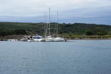
When there is a sirocco or bura blowing, it is best to anchor in the wooded Bijar Bay on the island of Cres. Bijar is only a 10-minute-walk from Osor.


Video
Current news
 Macrocruise charter agency
Additional discount on the boat rental price of betw
Macrocruise charter agency
Additional discount on the boat rental price of betw


EcoAdriatica

Charter


Nagradna igra