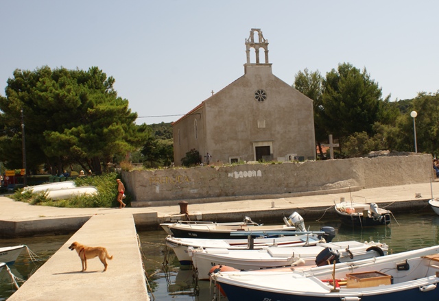
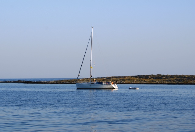

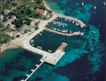
 Krijal harbour
MAP OF KRIJAL HARBOUR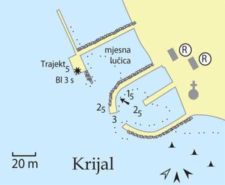
Warning: These maps are for information and not navigation purposes.
Source: Karl-H. Beständig "808 LUKA I UVALA - Hrvatska, Slovenija i Crna Gora" (808 HARBOURS AND BAYS – Croatia, Slovenia and Montenegro)
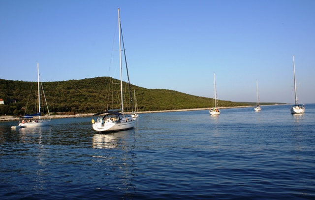
 Until 2009, buoys were placed in the anchorage. The concessionaire gave up his concession due to tax increases on the
 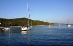 use of the maritime domain. In the sea, at a depth of around 5 metres, you can still find the concrete slabs which held the buoys. It is best to take a dive and tie-up directly to the concrete slabs.
The sea bottom holds the anchor well.
The sea is rough when the western winds and southern jugo wind blow.
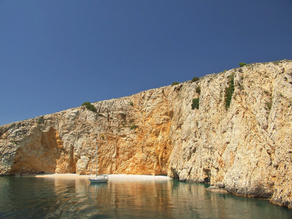
It is also possible to anchor in front of the low ridges which lie towards the west and open sea. Here, you can find several beautiful beaches for swimming.

Video
Current news
 Macrocruise charter agency
Additional discount on the boat rental price of betw
Macrocruise charter agency
Additional discount on the boat rental price of betw


EcoAdriatica

Charter


Nagradna igra