

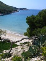
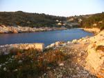
Island of Biševo
Island of Biševo  The bays of Biševo
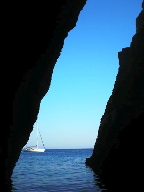
MAP OF BIŠEVO

Warning: These maps are for information and not navigation purposes.
Source: Karl-H. Beständig "808 LUKA I UVALA - Hrvatska, Slovenija i Crna Gora"
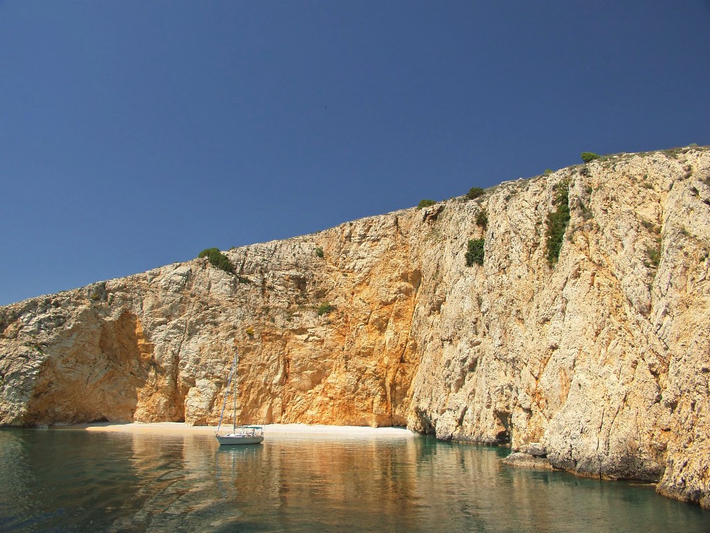
Mezuporat Bay
- you can anchor in the middle of the bay where the depth is around 10 metres. The place provides good shelter from the south-westerly wind.
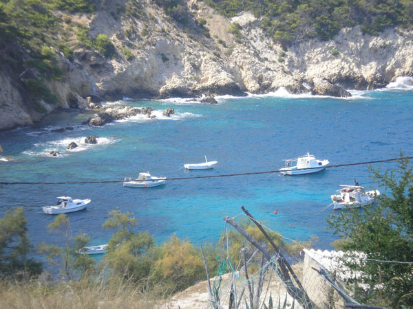
Porat Bay
- shallow and sandy bay where you can anchor about 50 metres from the shore. It can be crowded in high season when swimmers come from Komiža. It is well protected against the wind except the south-westerly and north-westerly winds.
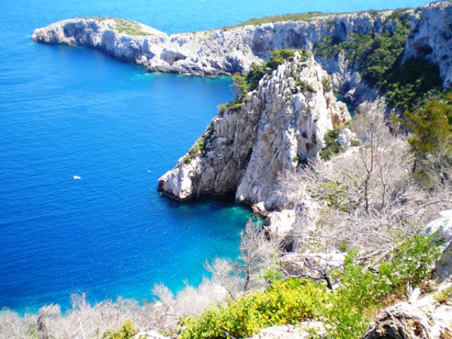
Salbunara Bay
- you can anchor in the middle of the bay. The pier is not very safe due to rocks. It is calmer here than in Porat Bay. It is not well protected from the maestral, the north-westerly wind.
Images of bays from: http://www.bisevo.org/
 |  |  |


Video
Current news
 Macrocruise charter agency
Additional discount on the boat rental price of betw
Macrocruise charter agency
Additional discount on the boat rental price of betw


EcoAdriatica

Charter


Nagradna igra
Photo gallery