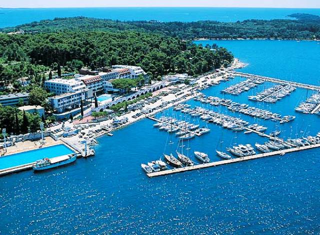
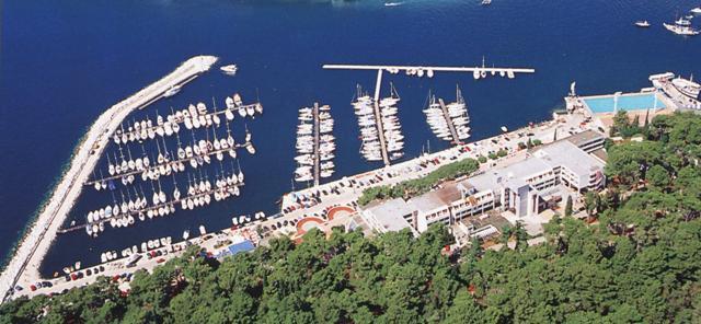
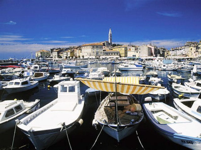

ACI Rovinj
ACI Rovinj  Map and approach into ACI Rovinj
APPROACHING ACI ROVINJ
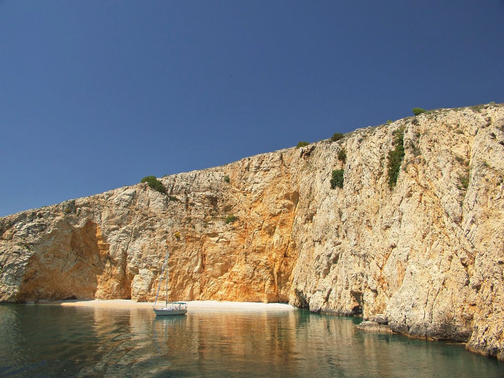
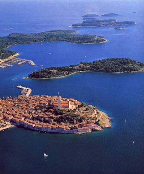
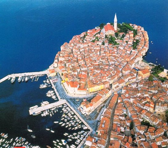
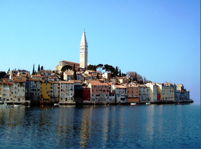
From the sea one can recognize Rovinj by the bell tower of the church of St. Euphemia standing on the hill in the middle of the peninsula, as well as the St. Katarina Island beneath the very town. Cape St. Euphemia is a marked by a lighthouse (Fl 4s 19m 7M) which can be used as a way point (45°05,0' N 13°38,0'E). ACI marina Rovinj can be approached between St. Katarina Island and the town harbor breakwater. At the head of the breakwater is a lighthouse (Fl R 3s 7m 3M). Between the lighthouse and St. Katarina Island there is a shoal marked by a yellow-black conical buoy that has to be rounded from north. If we approach the marina from the south, we should hold to the marina breakwater which on its end is marked by a green lighthouse (Fl G 5s 7m 5M).
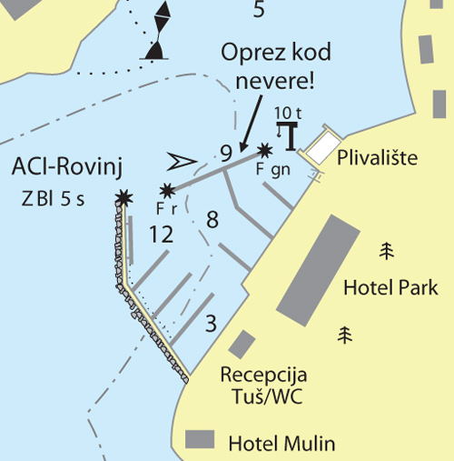
Warning: These maps are for information and not navigation purposes.
Source: Karl-H. Beständig "808 LUKA I UVALA - Hrvatska, Slovenija i Crna Gora" (808 HARBOURS AND BAYS – Croatia, Slovenia and Montenegro)


Video
Current news
 Macrocruise charter agency
Additional discount on the boat rental price of betw
Macrocruise charter agency
Additional discount on the boat rental price of betw


EcoAdriatica

Charter

Nagradna igra