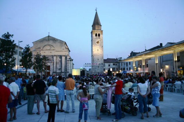
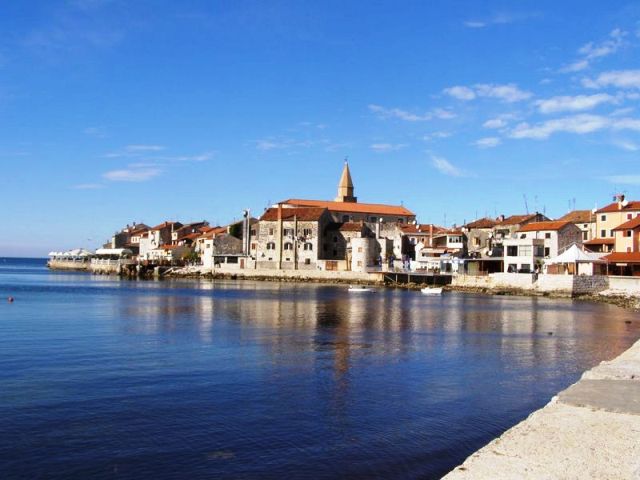
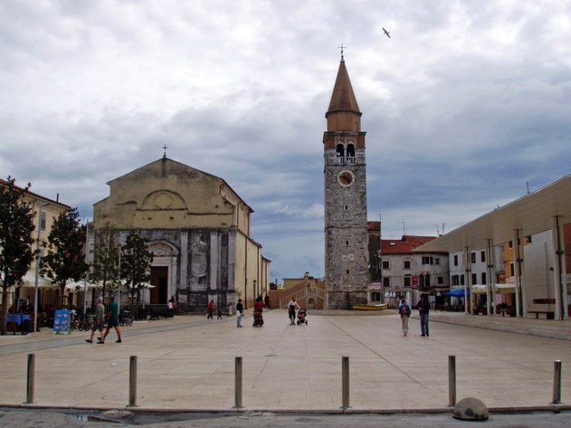
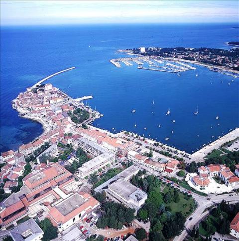
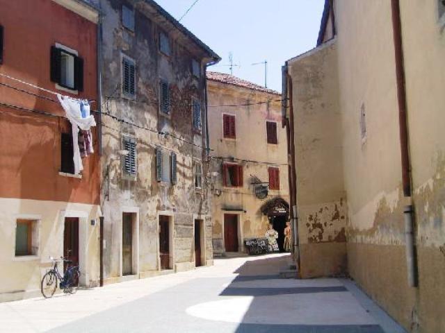

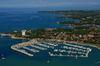
Umag/Istria
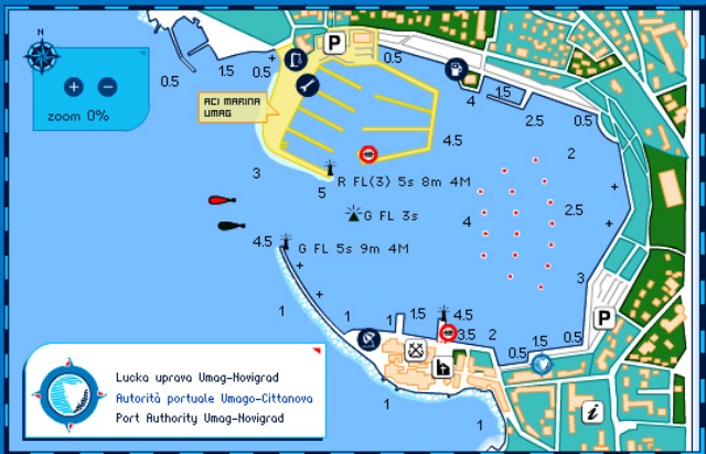
Umag/Istria  Map of Umag Harbor and prices
Position: 45°26' - E 13°30'
International port and border crossing open all year.
The harbour is sheltered from all winds apart from westerly, north-westerly and northern winds. The northerly Bura wind is strong here but does not create waves. Summer storms can create high waves in the harbour.
Passengers can board and disembark on the shore up to the customs quay. 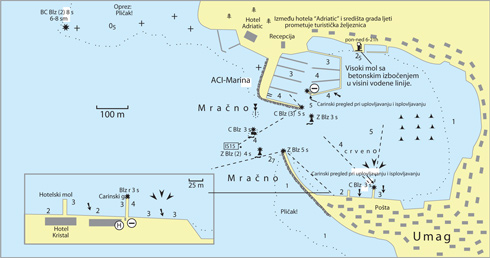
Mooring is possible on the southern side of the harbour between the customs and western quays, where moorings are provided. There are berths for smaller vessels on the northern shore.
In the central part of the harbour, there are about twenty anchored buoys. There is a petrol pump on the northern shore.
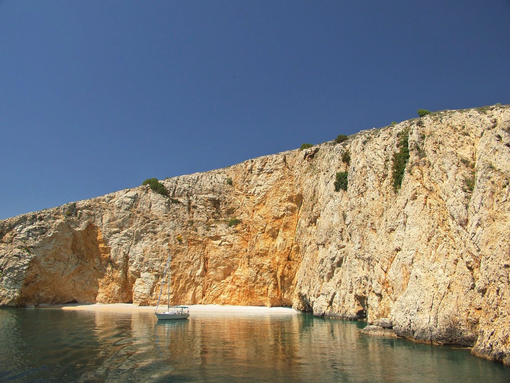
Tourist boat trips to Venice, Novigrad, Poreč, Rovinj and Brijuni depart from Umag harbour.
Map of Umag harbour
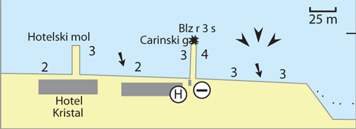
Umag: There are places at the customs quay and Hotel Kristal for mooring yachts and boats. There is no electricity supply or facility for filling water tanks.
Warning: These maps are for information and not navigation purposes.
Source: Karl-H. Beständig "808 LUKA I UVALA - Hrvatska, Slovenija i Crna Gora"
(808 HARBOURS AND BAYS – Croatia, Slovenia and Montenegro)
PRICE PER DAY FOR MOORING - UMAG HARBOUR
| MOORING TO BUOYS |
- number of buoys: 23
- price per metre of length of vessel: 1.5 euros
| MOORING ON THE SHORE |
- number of moorings: 18
- price per metre of length of vessel: 2.2 euros
Refuse (on buoys) is not charged and neither is there a fee per crew member. There is no electricity supply or facility for filling water tanks.
Source: www.lucka-uprava-umag-novigrad.hr


Video
Current news
 Macrocruise charter agency
Additional discount on the boat rental price of betw
Macrocruise charter agency
Additional discount on the boat rental price of betw


EcoAdriatica

Charter


Nagradna igra